It is time for another free road navigation. This time I checked OsmAnd Navigation. It is a map and navigation application with access to the free OpenStreetMap data. Almost all functionalities can work online or offline.
+ Free OpenStreetMap maps. OpenStreetMap is a project to create free editable map of the whole world. Using OpenStreetMaps means free, simple accessible and quite good maps. But it also means ugly design and missing 3D view – what has big impact on navigation application.
+ Plugins management (Location monitoring, Parking reminder…).
+ A lot of settings which are usually not available. Just for example, you can choose within five navigation services.
+ Fast and comfortable search engine for POI and addresses. It works real compelling.
– User interface is far from simple and transparent.
– Very slow route recalculation.
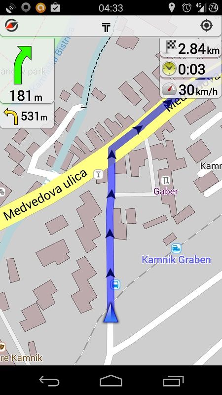
– Unnecessary accuracy when showing distance to action (in meters!).
– Route selections looks good at the beginning, but between navigation it is somehow strange and with some unexpected suggestion.
I have a feeling that OsmAnd can become a big player in navigation with some changes. It has a long learning curve, user interface isn’t clear, (night) maps display can be very very ugly, missing 3D view… But on the other hand it offers a lot of interesting features.
Rating: 6/10 (check whole ratings table)